What is Picterra?
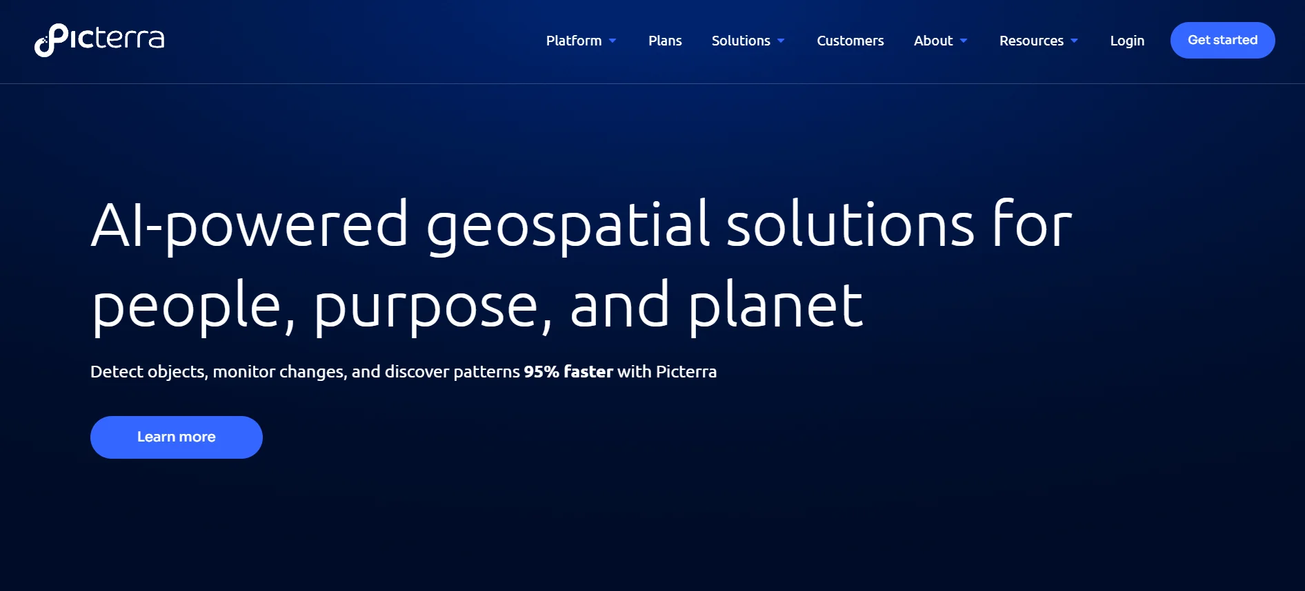
Picterra is an AI-driven geospatial platform that empowers users to analyze and extract valuable insights from satellite and drone imagery. By leveraging machine learning models, Picterra allows businesses and individuals to detect, quantify, and monitor changes in land use, vegetation, and infrastructure.
This platform supports various industries, including agriculture, environmental monitoring, and urban planning.
How to Use Picterra
Upload your geospatial imagery to Picterra, create or select a pre-trained detector, and run the analysis to identify and monitor features of interest.
Picterra Features
- Custom Detectors: Create AI models for specific needs.
- Data Integration: Supports various data formats.
- Collaboration Tools: Share projects with teams.
- Scalability: Handles small to large datasets.
- Visualization: Clear graphical representations.
Picterra Use Cases
- Forestry Management: Monitor forest health.
- Agriculture: Track crop conditions.
- Urban Planning: Analyze city development.
- Mining: Assess resource extraction areas.
- Environmental Monitoring: Detect ecological changes.
Pricing
- Pro Plan: 1 user, 10 projects, 10 detectors, 100,000 MP storage.
- Business Plan: 3 users, 20 projects, 20 detectors, 500,000 MP storage, team tools.
- Enterprise Plan: 5+ users, unlimited projects and detectors, custom storage, advanced tools.
- Free Trial: 14-day free trial available.
Summary
Picterra offers an advanced platform for analyzing geospatial data using AI. Its customizable detectors and scalable infrastructure make it suitable for various industries, from forestry to urban planning. With flexible pricing plans, Picterra caters to individual analysts, growing businesses, and large enterprises. The platform’s ease of use and powerful features streamline the process of extracting valuable insights from aerial and satellite imagery.
Picterra

Picterra is an AI-powered geospatial platform for analyzing satellite and drone imagery to detect, monitor, and visualize changes in land use.
Application Category: AI Assistant
4.6
Pros
- AI-powered geospatial analysis.
- Scalable infrastructure.
- Custom AI model creation.
- Supports multiple data types.
- Integrates with ArcGIS and FME.
Cons
- Requires technical expertise.
- Limited offline functionality.
- High initial learning curve.
- Subscription-based pricing.
- Dependence on internet connectivity.


